
Along the west branch
Hydroseeding in Olmsted Falls, OH
Lawn and slope seeding in a small city on the Rocky River's west branch.
- No charge to walk your property, and every quote comes in writing
- Itemized pricing: prep, topsoil, seed mix and erosion control listed separately
- A printed watering and first-mow sheet left on every new lawn
Olmsted Falls on the West Branch
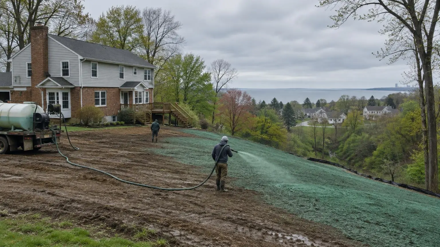
Hydroseeding in Olmsted Falls often involves the edge of a river valley. The west branch of the Rocky River, about 36 miles long, rises in Medina County and flows north through Olmsted Falls. A few miles downstream it meets the east branch at Cedar Point Hill in North Olmsted, about 657 feet above sea level, while Olmsted Falls itself sits around 774 feet.
Valley-edge lots
That difference in height means some local lots step down toward the river. Further downstream, the main Rocky River has shale cliffs that drop as much as 150 feet below street level. Shale breaks down into thin, slippery soil that does not hold seed well. On sloped Olmsted Falls yards we use a bonded fiber matrix or blankets and avoid steepening the bank during grading.
Plum Creek
In 1857 the village doubled in size by annexing Plum Creek, the hamlet to the north. Yards near small creeks like that need swales lined so concentrated water does not cut through a fresh lawn.
Railroad town
CSX tracks built in 1849 and Norfolk Southern tracks built in 1853 both cross the city. Lots next to rail embankments can have odd grades, cinders and fill. We test-dig before seeding and bring in topsoil where the existing ground is mostly gravel or fill.
A small city that grew late
Olmsted Falls merged with Westview in 1971 and grew from 2,504 people in 1970 to 9,024 in 2010. Newer streets from that era have yards that are now ready for overseeding and renovation.
Common work here
- Valley-edge slope seeding
- New lawn installation after construction
- Overseeding established lawns
- Grading and topsoil near rail and creek edges
Get a free estimate or call (216) 820-9857.
Olmsted Falls River Facts
- West branch. The 36-mile west branch of the Rocky River rises in Montville Township and flows north through Olmsted Falls.
- Confluence. The east and west branches meet at Cedar Point Hill in North Olmsted, about 657 feet above sea level.
- Shale cliffs. The main Rocky River has steep shale cliffs up to 150 feet below street level in places.
- Plum Creek annexation. In 1857 the village doubled in size by annexing Plum Creek, the hamlet to the north.
Olmsted Falls Questions
My yard drops toward the river. Can it be seeded?
Yes. The slope gets BFM or stapled blankets, and we grade so it ends up no steeper than it started.
There is gravel and cinder fill near the tracks. Will grass grow?
Not well on its own. We add topsoil before hydroseeding.
Can you line the swale that runs to our creek?
Yes, with a straw or coir blanket pinned in place, then seed.
Do you work on both sides of the river in town?
Yes, throughout Olmsted Falls and nearby Olmsted Township.
Hydroseeding Near Olmsted Falls
- Hydroseeding in Cleveland, OH
- Hydroseeding in Strongsville, OH
- Hydroseeding in North Royalton, OH
- Hydroseeding in Brecksville, OH
- Hydroseeding in Avon, OH
- Hydroseeding in Avon Lake, OH
- Hydroseeding in North Ridgeville, OH
- Hydroseeding in Solon, OH
- Hydroseeding in Medina, OH
- Hydroseeding in Brunswick, OH
- Hydroseeding in Hudson, OH
- Hydroseeding in Twinsburg, OH
- Hydroseeding in Mentor, OH
- Hydroseeding in Aurora, OH
- Hydroseeding in Parma, OH
- Hydroseeding in Chagrin Falls, OH
- Hydroseeding in Chardon, OH
- Hydroseeding in Willoughby, OH
- Hydroseeding in Independence, OH
- Hydroseeding in Bay Village, OH
- Hydroseeding in Euclid, OH
- Hydroseeding in Hinckley Township, OH